
Massachusetts is gearing up for a dramatic stretch of winter weather starting Thursday, and the next seven days are bringing everything from bone-chilling temperatures to sudden snow showers and a messy mid-week storm.
Here’s your full updated forecast starting tomorrow (Thursday) through next Wednesday — accurate for Boston, Worcester, Springfield, and most of the state.
⸻
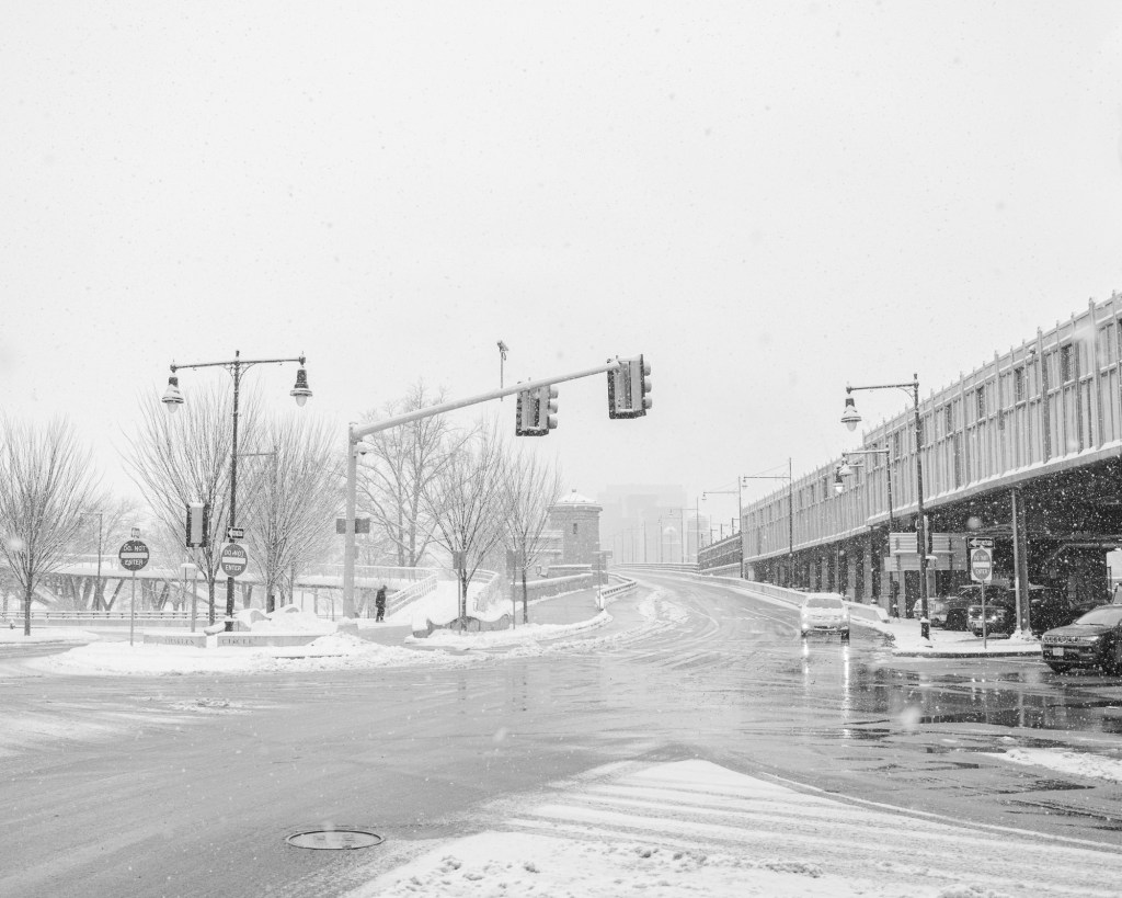
🌨️ THURSDAY: Wind, Cold & Pop-Up Snow Showers
The weather turns active fast.
By Thursday afternoon, expect:
• Powerful wind gusts up to 60–70 kph
• Quick snow showers or squalls that can make roads slick fast
• Highs around 35–40°F, dropping to the teens at night
Visibility may drop suddenly in heavier bursts of snow — especially during the evening commute.
⸻
❄️ FRIDAY: Sunshine but Extremely Cold
Friday is bright, but the cold is no joke.
• Highs only in the 20s
• Lows in the teens and single digits
• Wind chill makes it feel even colder
If you’re riding the MBTA or walking around the city, layer up heavy — this is the type of cold that hits instantly.
⸻
🌥️ SATURDAY & SUNDAY: Cloudy, Milder, but Still Chilly
The weekend brings a break from the brutal cold.
Saturday
• Mostly cloudy
• Highs in the upper 30s
• A chance of isolated snow showers
Sunday
• Clouds and sun mix
• Highs near 38–40°F
• Cold but manageable
A typical New England winter weekend.
⸻
🥶 MONDAY: The Cold Returns Hard
Monday snaps the warmth away again.
• Highs back in the 20s
• Lows drop into the single digits
• Breezy morning winds add extra bite
Expect frostbite-level cold during early commutes.
⸻
🌨️ TUESDAY: Afternoon Snow Threat
Clouds cover most of the state with light snow developing by the afternoon.
• Highs: 25–31°F
• Evening driving conditions may get slippery
• Intermittent flurries and snow showers continue off-and-on
A classic slow-and-steady winter event.
⸻
🌧️ WEDNESDAY: Snow Changes to Rain
Mid-week brings the biggest headache.
• Snow in the morning / midday
• Changing to rain or a wintry mix in the afternoon
• Highs warming into the upper 30s and low 40s
• Messy evening commute likely
This system has the potential to cause delays and slushy roads across the state.
⸻
Statewide Summary
Massachusetts is heading into a true New England winter stretch:
• Strong winds Thursday
• Brutal cold Friday and Monday
• A chance of snow Saturday & Tuesday
• A messy snow-to-rain mix next Wednesday
• Temperatures swinging from single digits to low 40s
Keep the heavy jacket, gloves, and boots ready — you’re going to need them.

Leave a comment